Trail Overview
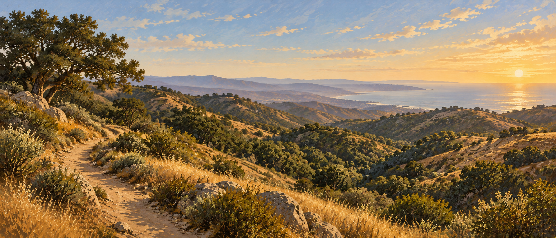
Cerro Alto rises above the coastal hills between Morro Bay and Atascadero. Trails from Cerro Alto Campground climb through oak woodland toward open slopes and a summit with broad views of the Central Coast.
Use the Forest Service route information and a current trail map to choose your outing. Different approaches and loop options have different distances.
- Setting
- Central Coast mountains
- Trailhead
- Cerro Alto Campground
The Hike
Start at the campground trailhead
Locate the signed trail access at Cerro Alto Campground. Check the trail map and choose your route before leaving the parking area.
Climb through woodland
The Forest Service describes a route following Morro Creek through oak woodland before reaching more open terrain.
Continue toward Cerro Alto
Follow the signed route toward the summit. Carry a current map to distinguish the trail junctions and loop options.
Return on your planned route
Allow time and water for the descent. Use the same approach back or a mapped loop that you have planned in advance.
Getting Here & Parking
Cerro Alto Campground is reached from Highway 41 between Morro Bay and Atascadero. The campground entrance road continues about one mile from the highway.
The Forest Service lists a $10 trailhead parking fee or a Parks Management Company pass. Interagency Annual, Senior and Access passes are not accepted for trailhead day-use parking. Verify current fees and posted instructions before your visit.
Google Maps Reviews
4.6 / 5 · 51 reviews, checked 2026-10-14.
A Few Common Questions
Where does the hike begin?
At Cerro Alto Campground, reached by the access road off Highway 41.
Is there a parking charge?
The Forest Service currently lists a $10 trailhead parking fee, with a Parks Management Company pass also accepted. Check the current fee before traveling.
Is there only one route?
There are different approaches and loop options. Select a route using a current map rather than assuming that every description covers the same distance.
Trail Information Sources
Independent trail guide. Check the land manager’s current notices before visiting.